
January reminded us what real winters are like. Forecasters on the weather until January 18
The Republican Center for Hydrometeorology, Radioactive Contamination Control and Environmental Monitoring of the Ministry of Natural Resources and Environmental Protection told BelTA about the weather forecast in Belarus for January 13-18.
"It seems that this January has decided to remind Belarusians what real Russian winters are like. Thus, after record snowfalls this week, abnormal frosts will rush into Belarus. After the snowy cyclone 'Ulli', which raised snowdrifts to 47 cm and significantly complicated life for motorists and utility services, unstable air mass of Arctic origin will enter our country's territory on the periphery of an anticyclone. This means that precipitation will decrease, but at night, with clear skies and radiative cooling, we cannot avoid temperatures below minus 30 degrees," the Belhydromet noted. Now, in more detail, about how long and in which region abnormally low air temperatures will persist. In the next three days (January 13-15), due to the advection of air mass of Arctic origin, very cold weather will persist in Belarus with a temperature background mainly 5-15 degrees below the long-term average values (climatic norm for the second decade of January is minus 1.4-4.5 degrees). Nighttime minimums will range from minus 10 to minus 30 degrees; only on January 15 (Thursday) in the southwest, where the influence of air mass of Atlantic origin will begin to be felt, the air temperature will not drop below minus 6 degrees, and daytime maximums will be in the range from minus 1 degree in the southwest to minus 19 degrees in the northeast, meteorologists noted. At the same time, on January 13 and 14 (Tuesday and Wednesday), precipitation in the form of snow will be observed from time to time in the unstable air. On January 15 (Thursday), a frontal division moving from the territory of Poland will cause precipitation of various phases (snow, wet snow during the day) and intensity. In the nighttime hours, heavy snow is not excluded in some western areas.
Further (January 16-18), frosty weather with temperature contrasts will persist in the republic. The minimum air temperature at night will range from minus 6 degrees in the west to minus 27 degrees in the east, and the maximum values during the day from minus 2 degrees in the western regions to minus 15 degrees in the northeastern ones. Moreover, if on the night of January 16 (Friday) precipitation will continue to be observed in most of the territory, then further, with increasing atmospheric pressure, precipitation will become local and short-term. With fluctuations in the temperature background, light fogs and ice phenomena will be noted in some places.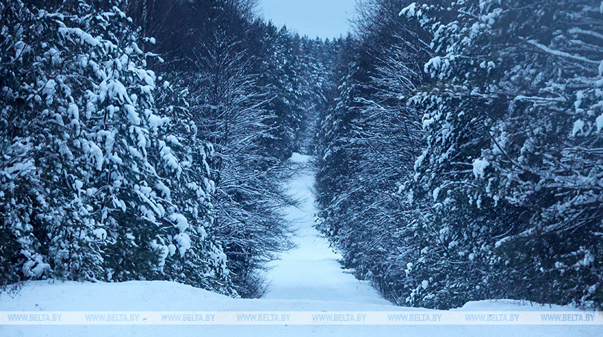 On **January 13**, snow will fall in many districts (moderate at night, light during the day). Light fog is expected in some places at night and in the morning. Ice will be present on some sections of roads. The air temperature at night will be minus 10-16 degrees, with clear spells - down to minus 17-22 degrees. During the day, the thermometer will show minus 7-13 degrees, in the east - down to minus 15 degrees.
January 14: Light snow is expected in some areas of the country at night, mostly dry during the day, with short-term snow only in the southwest. Localized weak fog, frost, and icy roads. Air temperature at night will range from minus 17 to minus 22 degrees Celsius, reaching minus 23-28 degrees in some places, and minus 14-16 degrees in certain western areas. Daytime temperatures will range from minus 5 degrees in the southwest to minus 17 degrees in the northeast.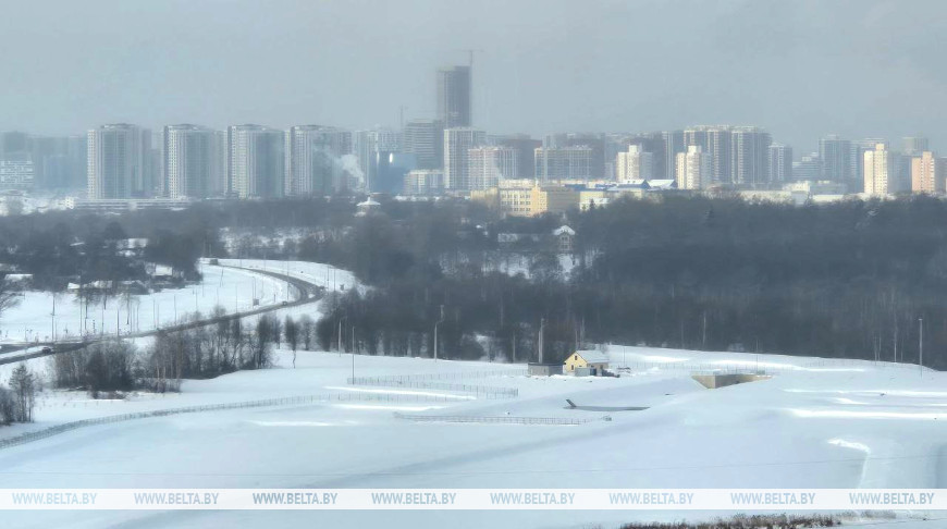 January 15: Snow is expected across most of Belarus, with wet snow during the day and heavy snow in some western areas at night. Localized weak blizzard, icy roads, and weak glaze ice in the west during the day. Nighttime air temperatures are forecast to range from minus 6 degrees in the southwest to minus 30 degrees in the east, and daytime temperatures from minus 1 degree in the southwest to minus 19 degrees in the northeast.
January 16: Short-term snow and wet snow are expected at night across most of the territory and in some areas during the day. Weak glaze ice in some western areas during the day. Localized weak fog and frost. Icy roads in some areas. Nighttime air temperatures will be minus 14-21 degrees Celsius, reaching minus 25 degrees in some places, and minus 6-13 degrees in western regions. Daytime temperatures will range from minus 2 degrees in the west to minus 15 degrees in the northeast.
January 17: Mostly dry, with light short-term snow only in some southeastern areas. Icy roads in some areas. Nighttime air temperatures will be minus 14-21 degrees Celsius, reaching minus 25 degrees with clear spells. Daytime temperatures are expected to be minus 9-15 degrees Celsius, with nighttime temperatures in western regions at minus 9-13 degrees Celsius. Daytime temperatures will be minus 6-8 degrees Celsius.
January 18: Mostly dry. Icy conditions are expected on some road sections. Nighttime air temperatures will be minus 18-24 degrees Celsius, reaching minus 27 degrees with clear spells, and minus 15-17 degrees in western regions. Daytime temperatures will be minus 7-14 degrees Celsius.